
Un geostationary satellite is one whose altitude and speed match the Earth's rate of rotation and appears to remain stationary on Earth. They can cover large areas and provide services like satellite TV, radio, weather forecasts, and more. These satellites are of great importance for the human being.
Therefore, we are going to dedicate this article to tell you about the characteristics, location, technology and much more of the geostationary satellite.
What is a geostationary satellite
Various aspects of the space age have had such an impact on our daily lives, such as the invention of communication satellites. In just a few decades, they have reached even the most remote parts of the world in ways that they were almost unimaginable not long ago.
In fact, today it is possible to talk directly to climbers on Mount Everest or to communicate via the Internet with almost any computer system on the surface of the Earth, all with the help of communication satellites.
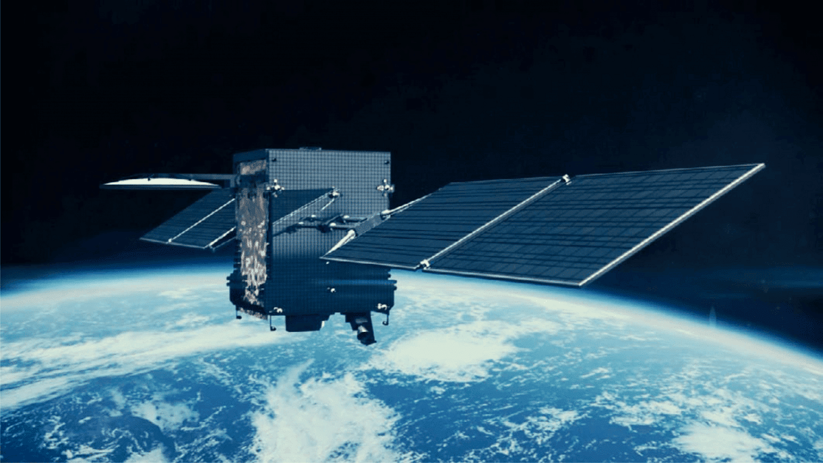
Communications satellites operate in many types of orbits, from low-Earth constellations like Globalstar to the eccentric and highly inclined Molniya orbit used by the Russian Federation. However, the most important type of orbit for these satellites is the geostationary orbit, which is suitable not only for satellite communications, but also for meteorological observations and many other types of applications.
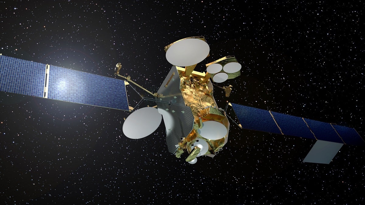
Geostationary satellites orbit the equator at the same speed as the Earth rotates, once a day, and align with the geostationary orbit. They orbit around a almost fixed point on the Earth's surface at the equator at a distance of 35.900 kilometers. This positioning allows continuous monitoring of a specific area while the field of view covers approximately one third of the Earth's surface.
They lie exactly on the Earth's equator and revolve around the Earth in circular orbits. They spin at exactly the same speed and direction (west to east) as Earth, rendering them stationary from Earth's surface. A geostationary satellite has to be some distance from Earth, otherwise it will drop in altitude, so if it gets too far from Earth, it will completely escape the Earth's gravitational field.
Geostationary satellites have modernized and transformed communications around the world, from television broadcasts to weather forecasts. They also have several important applications in the areas of intelligence and military strategy.
Key features
The term geostationary satellite comes from the fact that such satellites appear almost stationary in the sky when viewed from the Earth's surface. The orbital paths of geostationary satellites are known as Clark's belt, named after science fiction author Arthur Clark, who is credited with the idea.
He published a paper in 1945 suggesting that artificial satellites could be used as communication relays after studying rocketry research done in Germany during World War II. The first successful geosynchronous orbit was in 1963 and the first geostationary orbit in 1964.
When a satellite or spacecraft is in a geosynchronous orbit, it is synchronized with Earth's rotation, but the orbit is tilted toward the equatorial plane. The satellites in these orbits change latitude but stay at the same longitude. This differs from geostationary orbit because the satellites move in place and are not locked in one position in the sky.
Geostationary satellites stay in the same place while covering the same area of the Earth's surface and can provide services, such as television, telecommunications, and imaging, to specific areas or areas of the Earth's surface in a predictable and consistent manner. A satellite that must be constantly driven to a certain position.
Geostationary satellite location

These satellites are located at a high altitude, which allows them to measure the entire area of the earth's surface, except for small areas at the geographic south and north poles, which is helpful in meteorological research. Highly directional satellite dishes reduce signal interference from terrestrial sources and other satellites.
An orbital sector is a very thin ring in the equatorial plane; therefore, a very small number of satellites can stay within that sector without conflicting and colliding with each other. The precise position of geostationary satellites fluctuates slightly every 24-hour period. Such fluctuations occur due to gravitational disturbances between the satellites, the Earth, the Sun, the Moon, and other planets.
It takes about 1/4 second for a radio signal to travel to and from a satellite, resulting in small but significant signal latency. This wait is a problem for interactive communications, such as telephone conversations.
geostationary orbit
A geostationary orbit is a special orbit within which any satellite will appear stationary at a given point on the Earth's surface. Nevertheless, Unlike other types of orbits, which can have a number of orbits, the geostationary orbit has only one.
For any geostationary orbit, it must first be a geosynchronous orbit. A geosynchronous orbit is any orbit with a period equal to the period of the Earth's rotation.
However, this requirement is not enough to guarantee a fixed position with respect to the Earth. While all geostationary orbits must be geostationary, not all geostationary orbits are geostationary. Unfortunately, these terms are often used interchangeably.
Most of the time, we think of Earth's rotation as measured relative to the mean position of the Sun. However, since the sun moves relative to the stars (inertial space) due to Earth's orbit, the mean solar day is not a decisive rotation period.
A geosynchronous satellite orbits the Earth in the same amount of time it takes for the Earth to rotate once in inertial (or fixed) space. This period is known as a sidereal day and is equivalent to 23:56:04 mean solar time. Absent any other effect, each time a satellite with this period returns to a particular point in its orbit, the Earth will position itself in the same way in inertial space.
I hope that with this information you can learn more about the geostationary satellite and its characteristics.