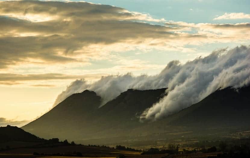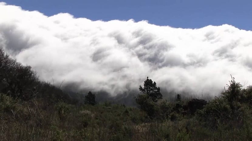
There are innumerable phenomena in meteorology that explain many of the things that we still do not know today. One of those things of which we do not know how it works is those situations in which the air is hotter than normal when there is a west wind.
This is due to the foehn effect. It is a phenomenon that takes place when a mass of hot and humid air is forced to ascend a mountain. When the air descends from it, it does so with less humidity and with more temperature. Do you want to know everything about the foehn effect?
How does the foehn effect happen?

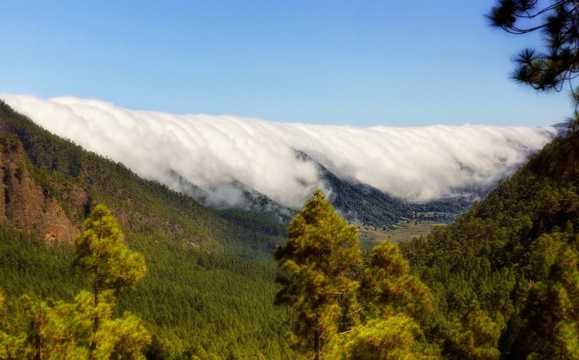
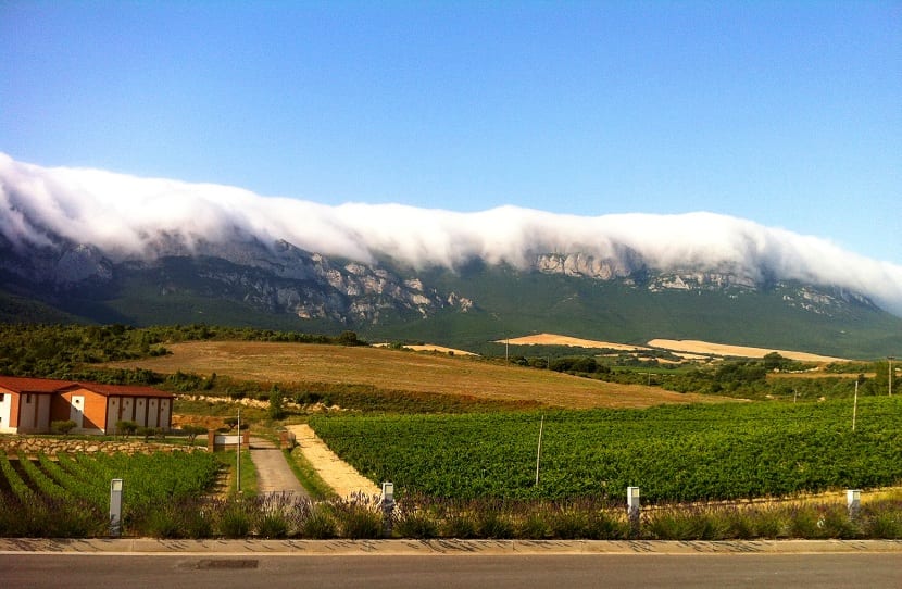
In Spain, when the west wind blows from the Atlantic Ocean, the air mass has to cross several mountains. When the air meets a mountain, it tends to climb to pass that obstacle. As the air increases in altitude, it loses temperature, since the environmental thermal gradient causes that as the altitude increases, the temperature decreases. Once it has reached the peak of the mountain, it begins to descend. As the air mass descends through the mountain, it loses humidity and increases its temperature, in such a way that, when it reaches the surface, its temperature is higher than the one with which it began to climb the mountain.
This is called the foehn effect and it happens here in Spain when the west wind blows, although it is characteristic of almost all mountainous areas. When the mass of hot air goes up the mountain, it expands, since the pressure decreases with height. This causes cooling and consequently a continuous condensation of water vapor, which leads to a release of latent heat. The result is that the rising air gives rise to the formation of clouds and precipitation. Permanent clouds of stagnation (at the top) are typical.
Normally the foehn effect is associated with cyclonic movements and occurs only when the air circulation is so strong that it is capable of forcing the air to pass completely through the mountain in a short period of time.
The foehn effect around the world

As mentioned before, the foehn effect occurs almost in all mountainous areas of the world, although its effect is local. The foehn effect also occurs in valleys. The consequence of this effect in a valley is that it completely distorts thermal comfort. The temperature conditions at the bottom of the valleys are usually very capricious. Sometimes these depend on the orientation, depth, morphology (if it is a valley of fluvial origin or of glacial origin), etc. In addition to these conditioning factors, stable meteorological conditions also influence, since they are capable of causing temperature inversions that break the normal thermal behavior patterns of the atmosphere.
So we can say that the foehn effect it is capable of transforming in just a few hours the amount of humidity that the valleys have. We will go on to see what consequences the foehn effect has in different parts of the world.
Foehn effect north of the Alps

The theory of the foehn effect tells us that when the warm and humid wind blows and it meets a mountain range, in order to pass it, it has to be forced to ascend. When this happens, the water vapor carried by the air cools and condenses, producing rains upwind of the mountain range. This reduces all the humidity in the air, so downwind, when the air descends, it becomes a warmer dough with very little moisture.
However, this theory is useless when we try to explain the foehn effect in the Alps. When it occurs in the alpine ranges, there is an increase in temperature, but it is not accompanied by precipitation south of it. How can this happen? The explanation for this phenomenon lies in the fact that the warm winds that reach the valleys north of the Alps do not really come from the southern slopes, but from higher elevations. In these cases, during its ascent, the cold air mass reaches a state of static stability that prevents it from reaching the top of the obstacle. Only through the deep gorges does some of this blocked cold air make its way north in the form of a foehn effect.
Due to the low humidity in the north of the Alps, this foehn effect forms spectacular skies, also accelerating the thawing process with high temperatures. The foehn effect is capable of being responsible for temperature differences of up to 25 degrees on a winter day.
North American foehn effect

When the foehn effect occurs in western North America it is called Chinook. This effect occurs primarily on the leeward or eastern plains of the Rocky Mountains in the United States and Canada. When it happens in the latter, the wind usually blows in a westerly direction although it can be modified by the topography. Often the Chinook begins to blow on the surface when an Arctic front retreats to the east, and a modified sea mass enters from the Pacific, producing dramatic increases in temperature. Like any other foehn, Chinook winds they are warm and dry, usually strong and gusty.
The effect of the Chinook is to alleviate the winter cold, but the strongest is to melt 30 centimeters of snow in just a few hours.
Foehn effect in the Andes
In the Andes (Argentina) to the wind resulting from the foehn effect it is called Zonda Wind. This Zonda Wind is also dry and dusty. It comes from the South Pole and after passing the Pacific Ocean, it warms up after ascending the ridges of mountains more than 6km high above sea level. When passing through these areas, The Zonda Wind is capable of exceeding speeds of 80 km / h.
The Zonda wind is basically produced by the northeast movement of the Polar Fronts, and then warmed up by the geographical descent towards the valleys. It is the same mechanism for falling snow at high altitudes, called the white wind, with speeds of up to 200 km / h. This wind is important for this arid region, and is linked to the accumulation of snow on the glaciers. The effect ends when cold air masses enter to the northwest and only takes place between May and November.
Foehn effect in Spain
In Spain some main winds are known. The ábrego, for example, is a wind that comes from the southwest. It is a mild and relatively humid wind. It is well known in the Plateau and in Andalusia, since it is the bearer of rains, headaches, colds and depressive states. It is the wind of the autumn and spring storms that are the basis of rainfed agriculture, as they are its main water resource. It comes from the Atlantic, from the area between the Canary Islands and the Azores.
Another of the negative effects that the abbreviation brings is that, due to its low humidity, it spreads fires. This type of wind is conditioned by the foehn effect. On the Cantabrian coast, the Ábrego receives names such as Viento Sur, Castellano (from Castilla, therefore from the south), Campurriano (from the Cantabrian region of Campoo) or “Aire de Arriba” (from La Montaña; the highest part from the province). If it blows too hot, they refer to it as “sheltered”, while an “abrilada” would be the period of several days under that wind regime.
In western Asturias, the Ábrego is also called chestnut air, since when it blows violently during the autumn it causes these fruits to fall.
The foehn effect and agriculture

We have seen that the foehn effect is capable of causing a temperature difference of up to 25 degrees in winter. Although this effect is mainly local, its incidence in the agriculture of an area is quite high. In places where there is a more pronounced foehn effect, due to the fact that the air decreases in humidity and the temperature increases, agriculture in this area is forced to cultivate rainfed, since irrigation would increase production costs and deplete water resources.
If we look at Argentine agriculture more generally, we will find that a large part is developed as rainfed agriculture, in which products with low hydrological requirements are developed. The sowing of wheat, soybeans and livestock are examples of the most characteristic agriculture of Argentina.
In Chile, on the other hand, we find a trend towards irrigated agriculture much higher. This is due to the differences in the incidence of the foehn effect in the different areas.
You can already know another of the phenomena of meteorology and its operation in a more detailed way along with its consequences. A phenomenon that, although it has a local effect, is known worldwide.
Germán, two days:
My name is Pepe Criado and for more than 15 years, I was expatriated by Iberia in the US as Regional Head of Operations, for all of America (South, Central, North and Caribbean).
There I was able to do a three-year course at NOAA, which could be the equivalent of something like "Assistant Meteorology Applied to Aviation" (more or less).
Now, after a disability caused by cancer since 2001 (I am already 68 years old), I returned to Malaga, where I am from, currently living in Torremolinos.
For a local non-profit flamenco cultural association that publishes a magazine every year. I am writing an article about the prevailing breezes and winds in Malaga, especially the terral and, since the foehn effect is inherent in this Malaga wind, apart from including the graphics that I have considered necessary, I would like to know if you could publish a photograph of the ones you have, where the aforementioned Foehn effect can be seen very clearly and I would dare to say almost exaggeratedly.
Obviously I would put the author and the annotations that you indicated and it is clear that, when I had it ready and before publishing it, I would send you the complete article by e-mail and when it is edited, a couple of copies by mail.
I do not know if it will seem appropriate.
Thanks and a hug,
PP Raised
Good morning,
The photo he put on "the Foehn effect in the Alps" is not from that area, it belongs to the Canary Island of La Palma.