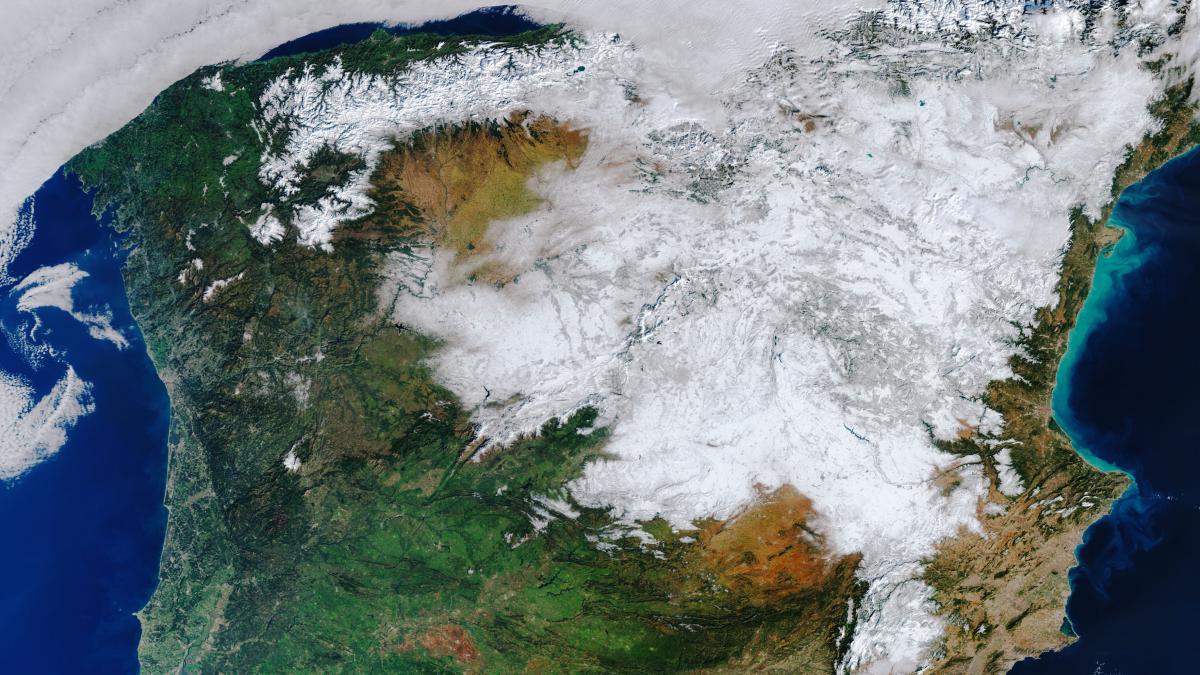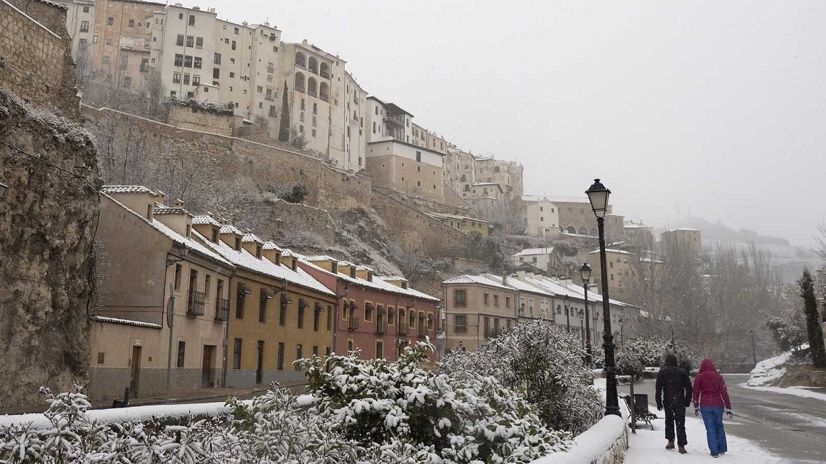
Spain has been hit by the storm Filomena that it has been loaded with humid winds from the south and that it has encountered a layer of cold air that has been displaced from the arctic areas. The clash of air masses has generated a historical snowfall in the Iberian Peninsula.
In this article we are going to tell you everything in summary about the predictions, causes and consequences of the storm Filomena.
Predictions of the storm Filomena

The meteorological satellites already knew previously the movement of the air masses that came from the south and from the north. When a large amount of dry and cold air meets warmer and humid air, a storm is generated by the difference between pressures. The decrease in pressure has generated an impressive snowfall throughout the entire peninsula. The snow has fallen in places with a very low elevation where there is normally no such precipitation. From now on there are also some days coming with a new polar front with lower temperatures that makes the snow freeze and last for days.
We have experienced during a weekend snow falls like the one that has never been seen before in the history of Spain. Said snows they have come to block the city of Madrid and other provincial capitals leaving an icy blanket that has covered almost the entire peninsular territory. This type of storm has generated an emergency situation due to the lack of mobility in urban centers. The forecast of the State Meteorological Agency pointed out that there are a series of circumstances that have turned the stormy Philomena into a perfect storm.
Snowfall and frost

The southern storm has been loaded with precipitation that has been experienced for a few days and has given way to a period where the skies are clear but with extremely low temperatures, it is not an effect that makes the rainy front stop, rather, it is an event outside the storm. This atmospheric condition perfectly connected with the storm Filomena to be able to convert Spain in a snowy area for a while. Thanks to these atmospheric conditions it is possible to maintain the necessary conditions so that the snow can hold for days.
After the unusual snowfall that occurred at the end of the past, a cold wave has come that has marked temperatures below 10 degrees in many places. In Madrid temperature values of -10 degrees have been reached. These values have not been seen since January 16, 1945 when temperatures reached -11 degrees. The intense night frosts and the cold daytime environment have favored the persistence of the snow and ice cover in many areas during the week.
And there is a whole sum of factors that have made the snow remain throughout the week. Let's see what these factors are:
- The anticyclone drags the rivers of the north pole towards the peninsula. This anticyclone is responsible for leaving the skies clear, the wind almost completely reduced and the frigid daytime environment with temperatures approaching 0 degrees.
- Long duration of the season nights. As we know, winter nights are longer than summer and it is more prone to have lower temperatures for longer due to the lack of the incidence of solar rays. With these lower temperatures the soil has cooled with strong intensity.
- Freshly fallen snow reflects the sun. Thanks to the fact that snow is able to reflect sunlight, it prevents the ground from heating up so easily and enhances an effect known as the refrigerator effect. For this reason, the effects of the snowfall that the storm Filomena has brought will be felt until almost the middle or end of January.
Causes of the storm Filomena

Let's see what are the reasons for these large snowfalls. We must know that the storm is not solely responsible for everything that has happened, what less not exclusively. Filomena has been a storm located in the Gulf of Cádiz that has blown the humid air towards the peninsula. It is in front of usually causing various types of abundant rainfall in the south and the east. The most could be seen with heavy rains in Malaga where the rivers have overflowed and caused the loss of several human lives.
What has happened this time is that Filomena has attracted humidity from the south along with an anticyclone from the Atlantic to the United Kingdom that had been injecting cold air towards our country for a week. When the cold air mass has encountered low-temperature soils in its path, it has turned the rains carried by the storm into snow. One of the questions that experts in climatology are generated is if all this is related to climate change. Many wonder if it can be this cold if the planet is warming.
Climate Change

You have to understand that climate change is quite complex. Although the trend is to increase global average temperatures, the climate does not respond in a linear fashion. That is, the long-term trend in large geographic areas when temperature is to rise. We know that the Earth's atmosphere is warming and it is a scientific fact that was corroborated. All of this introduces more energy into a system that is totally dynamic and whose surplus energy has caused a more unpredictable scenario and has more and more potential to cause very powerful local effects.
At the same time, as global average temperatures rise, the so-called polar jet is altered. It is an air current that occurs in the stratosphere and that helps separate the polar regions from the temperate ones. In recent years, this barrier has been changing and we will see some intrusions of arctic air masses in the geographical area of the Iberian Peninsula.
I hope that with this information you can learn more about the storm Filomena and its characteristics.