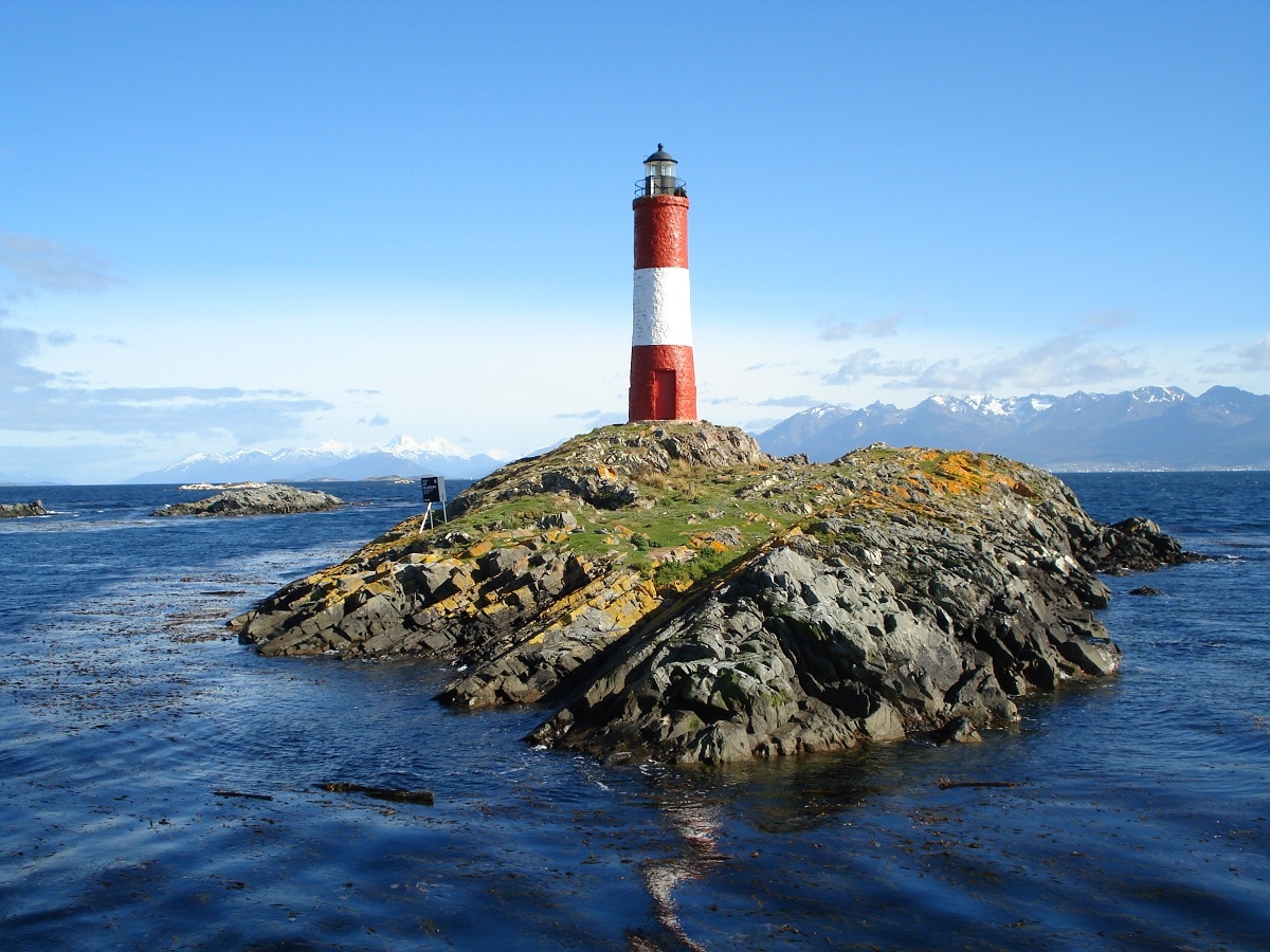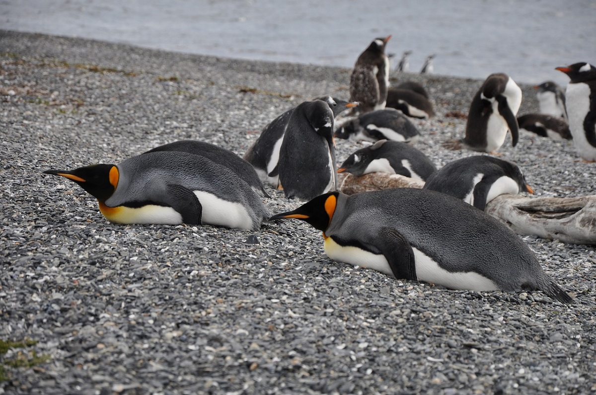
Majestic and more distinctive, as the name implies, Land of Fire, the youngest province of Argentina, if it is not considered an extreme land. It is literally the end of the world, not only because of the distance but also because of the lack of communication with the environment. And it is that this island, even today, cannot be accessed only by air. It has unique characteristics and biodiversity.
Therefore, we are going to dedicate this article to tell you everything you need to know about Tierra del Fuego, what are its characteristics and curiosities.
Origin and history of Tierra del Fuego

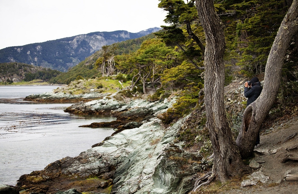
The physical characteristics of Tierra del Fuego are diverse. Most of the northern part of the main island is made up of glacial terrain, mainly lakes and moraines. Height is less than 180 meters. The Atlantic coast and the Strait of Magellan are low.
In contrast, the southern and western parts of the main island and the archipelago are an extension of the Andes, with peaks that exceed 7.000 feet, especially the characteristic mountainous glaciers of Sarmiento, Darwin and Tierra del Fuego.
There is a deciduous beech forest in the middle of the main island and the northern plain is covered with grass. The islands were discovered by the navigator Fernando de Magallanes in 1520 when he sailed through the strait that bears his name and called it the Tierra del Fuego region.
Several travelers crossed the area, but it was not until the British Admiralty carried out a comprehensive survey of the entire archipelago between 1826 and 1836 they attempted a systematic scan. For 350 years after Magellan's voyage, the area has been under the undisputed occupation of its people. Indians, Ona, Yahgan and Alacaluf Indians.
At the "end of the world," in the Tierra del Fuego region of the Argentine archipelago, there is a clear history of European settlement. Driven by the conquest of gold, oil and the main grasslands, Europeans sailed to this southernmost region in the hope of making money.
Today, the cities of southern Argentina are based on this rich history. However, before the influx of foreigners, there were some relatively unknown groups. The Yaghan (or Yamana), Alacaluts, and Ona peoples once roamed through this desolate area and endured harsh weather conditions. Wild animals and the marine resources on which they depended found little competition.
Climate

Tierra del Fuego's climate is cool in summers and cold in winters, with a stark contrast of annual rainfall ranging from 180 inches (4.600 mm) in Bahía Félix on the Chilean desert island to 20 inches in Río Grande, Argentina. In the exposed southern and western regions, the vegetation is limited to mosses and shrubs.
The climate in this area is not suitable for living. It belongs to the subpolar oceanic climate (Köppen CFC climate classification), with short and cool summers, long and wet winters: the northeast is characterized by strong winds, while the south and west have little precipitation, and most of the time it's windy, foggy, and humid. There are few days without rain, hail, hail, or snow.
The permanent snow line begins at 700 m above sea level. The Island of the States is 230 kilometers east of Ushuaia, with 1.400 mm of rain. The west receives the most intense rainfall, 3.000 mm per year.
The temperature remains the same throughout the year: in Ushuaia, the temperature in summer barely exceeds 9 ° C, and the average temperature in winter is 0 ° C. Snowfall can occur in summer. The cold and wet summer helps protect ancient glaciers.
The southernmost island has a typical subantarctic tundra climate, which prevents trees from growing. Part of the inland area has a polar climate. Regions of the world with similar climates south of Tierra del Fuego are the Aleutian Islands, Iceland, the Alaska Peninsula, and the Faroe Islands.
Limits and population of Tierra del Fuego

Tierra del Fuego, which corresponds to Antarctica and the South Atlantic, belongs to one of the 23 provinces of Argentina. At the same time, it is one of the 24 autonomous prefectures that make up the countryIt is also one of the 24 national legislative areas, with respect to its capital Ushuaia and the most populated city, it is an island belonging to Argentina.
Patagonia, located in the extreme south of Argentina, occupies a large island, ocean and Antarctic territory, which stretches from Tierra del Fuego to Antarctica, including Staten Island, the Falkland Islands, the South Atlantic Islands and the Antarctic Peninsula. A triangle is formed, the meridian sides are 74 ° W and 25 ° W apex and South Pole. In America, the province borders Santa Cruz to the north, Chile to the west, the Beagle Channel to the south, and Chile to the south. Antarctica, the province also borders western Chile, but the border has yet to be determined.
As for the population, Darwin survived the harsh environment and took tough actions, highlighting the unique nation in this culture and its notorious character, giving them the title of "unfortunate lord of this miserable land."
Geographically and culturally different from Yaghan, Ona were people who lived on land. They had two main groups: Hausch and Selk'nam. There were two divisions in the latter, one was located in the desert prairie north of the Fire River, and the other was located in the south park and forest area.
Unlike people in coastal areas, these people were large and survived hunting guanaco and tuco-tuco (a rodent that uses a bow and arrow as a weapon). At present, Argentina, you will not see any trace of these indigenous groups. Surviving in a very inhospitable corner of the planet, the Yaghan, Alacaluts and Ona they proved to be strong and durable people. However, these qualities did not protect them from the influx of diseases and foreign cultures.
Discoveries of natural resources by the Spanish, and later by other European settlers, brought rapid changes to these historical cultures. The European disease wiped out large numbers of both populations, and those that survived faced the problem of cultural erosion.
I hope that with this information you can learn more about Tierra del Fuego and its characteristics.
The only relevant thing about the Miter peninsula is its geographical position. All the effort that is put into nature conservation is an excuse to prevent people from approaching that area. To the south of the miter peninsula there are lands that do not appear on current maps. A state secret that must be preserved and not come to light. A huge theater set up for that purpose.
Anyone who approaches that southern area is eliminated. There is already much evidence of this with so many sunken ships. An immensity.
In the south of the miter peninsula there are hidden lands and they are inhabited by ancient peoples. The Yagans.
If you intend to go south they will stop you. A thousand rules, laws and nonsense have been invented to make it so. The miter peninsula is very close to those hidden lands that do not appear on maps. No one enters that area nor do the sailors go fishing.
The south of the island of the states is mainland.