
Technology has revolutionized existing information in all fields of science. After the birth of computers, an information system was called a set of computer tools capable of providing information about anything through computer programs. One of these information systems that has helped to obtain data from physical space are the SIG. The acronym means geographic information system and are those that provide a large amount of data about space.
In this article we are going to tell you what are the characteristics of GIS and the importance they have today.
What is a GIS

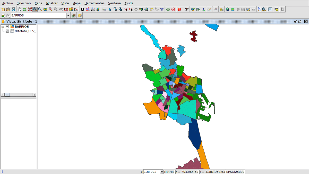
It is an information system that contains a large amount of data and that works through computer tools known as software. The specific object that is studied is the physical space and for this reason it is called a geographic information system or GIS. It is a specific software that allows all users to interactively consult wants to efficiently present a set of geographic information that refers to a specific territory. This is how by connecting database maps you can have great information about space.
This type of map helps to visualize all the data that has been obtained from a sampling in order to reflect and relate all the geographical phenomena of any type. That is, we find GIS that have a large amount of information such as a road map, agricultural plots, population density, distribution of vegetation, habitat of certain species of animals, etc. With the information obtained through sampling maps can be made with layers of information in which all the data will be reflected.
That is, we can have a map of the specific territory that we want to study and add layers of geographic information that have been obtained through sampling. Once we add the information layer to the geographic map, we obtain a geographic information system. We can have, for example, the habitat of a species and its abundance through the mixture between the geographical map and the information layer.
The GIS allows you to query and present the results in web environments and on mobile devices in a fast and intuitive way. Thanks to these information systems, the large number of complex problems that arise from the planning and management of the territory can be solved. This ease with which information can be exposed has made geographic information systems into valuable support in decision-making for different projects.
Sampling and information systems

It is known that today we are creating and storing information continuously. This information is increasing and it can be said that all this data cannot be stored in devices as it was previously. Human beings contribute to the growth of information, but they are not the only ones. Between the machines they also generate communication that creates large amounts of data that are important for management. For example, there are numerous digital sensors that are installed in containers to determine the route that has been taken during the delivery of a package. All this information is sent to the transportation companies to optimize the deliveries and the costs of the companies.
The same goes for geographic information. The spatialization of information it can help us see what, where and why various things are happening in our environment. Thanks to geography and geology we know the different characteristics of the Earth's surface. If we combine what science gives us with the realization of a sampling and the different data that we have from an information system, we create the GIS.
The samplings are carried out in an iterative and asymptomatic way. This means that information is gradually obtained until new information is revealed. We are going to give an example to better understand the samples used to obtain a layer of information. We assume that you want to study the range of a species of deer. In order to obtain this information, you must first perform a sampling. In this sampling, a count will be made of the sighting places of said species of deer and the geographical coordinates of the place where it has been seen will be noted.
The set of all geographic coordinates determines in a more precise way the area of distribution of this species. The set of all this information is stored in an information layer. Later, we add this layer of information to a geographic map that we have of the specific region. In this way, we have the entire geographical area through which the deer species is distributed and we can know the characteristics of its habitat.
Importance of geography in GIS
Once we analyze the large amount of information we have, we see that there is too much data to perform. Science describes the world we live in and there is more and more information about it. This means that we have to classify the information in some way. In the GIS we find all the specific components that help us to be able to efficiently consult and analyze the geographic information of a territory.
This geographic information is what has a spatial component. This can also be mastered as a location and attributive information that details more information about the item in question. Another example is to define with a man on a street as spatial coordinates.
The use of GIS has greatly facilitated the visualization of the data obtained on a map. Today GIS is used for almost any project and for the search of geographic information. From transport companies to environmental impact assessment, GIS have become an essential tool.
I hope that with this information you can learn more about GIS and its importance.