
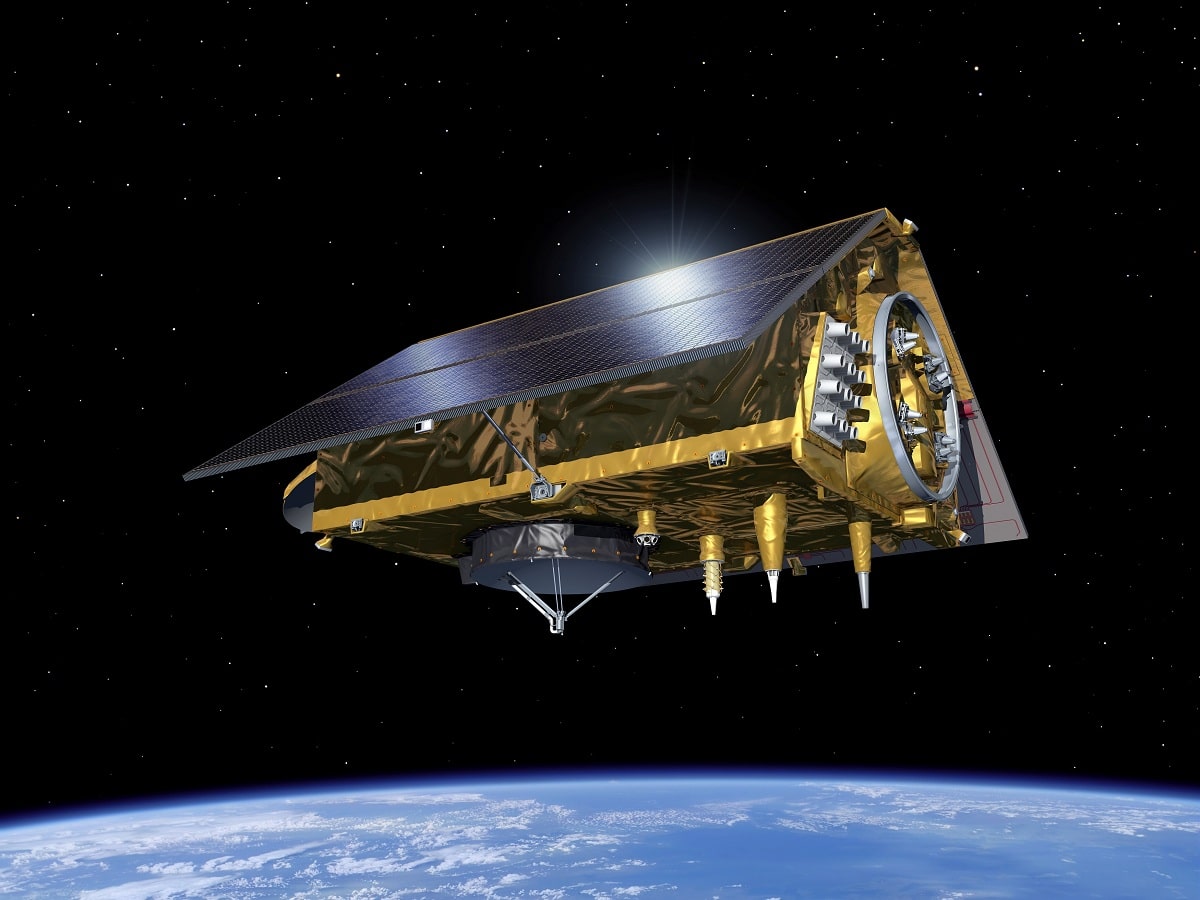
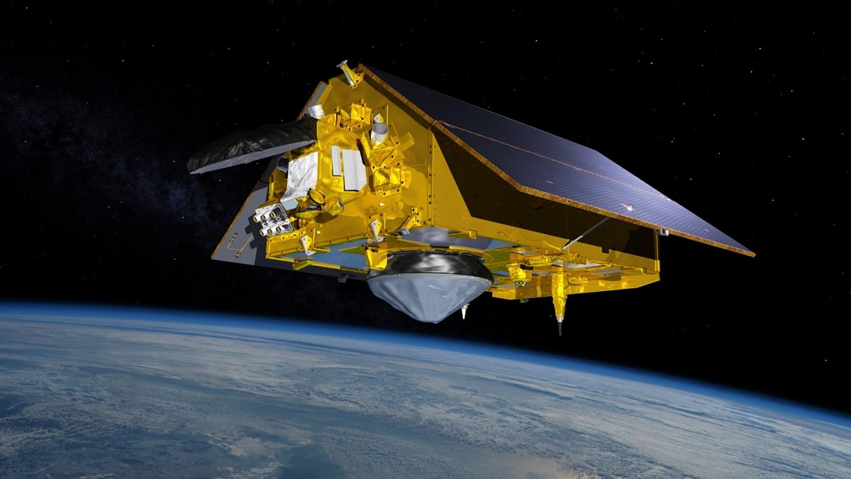
The world's most advanced Earth observation satellite was launched from Vandenberg Air Force Base in California. The fruit of a historic partnership between the United States and Europe, the satellite Sentinel-6 Michael Freilich will launch a five-and-a-half-year mission to collect accurate data on sea levels and how our oceans are rising due to climate change. The mission will also collect accurate atmospheric temperature and humidity data, which will help optimize weather forecasts and climate models.
In this article we are going to explain everything you need to know about the Sentinel-6 satellite, its characteristics and importance.
Key features

The satellite is named after Dr. Michael Freilich, former director of NASA's Earth Sciences Division, a tireless advocate for advances in ocean satellite measurements. Sentinel-6 Michael Freilich builds on the legacy of the European Space Agency's (ESA) Sentinel-3 Copernicus mission and the legacy of the TOPEX/Poseidon and Jason-1, 2 and 3 sea-level observation satellites Launched in 2016, Jason-3 continues to provide time series data from the 1992 TOPEX/Poseidon observations.
Over the past 30 years, data from these satellites has become a rigorous standard for studying sea level from space. Sentinel-6 Michael Freilich's sister, Sentinel-6B, it is scheduled to launch in 2025 and continue measurements for at least five years.
"This ongoing observational record is critical to identifying sea level rise and understanding the factors responsible," said Karen Saint-Germain, director of NASA's Earth Sciences Division. “Through Sentinel-6 Michael Freilich, we ensure that these measurements advance in both quantity and precision. This mission honors a distinguished scientist and leader and will continue Mike's legacy of advancing ocean research."
How Sentinel-6 Helps
So how will Sentinel-6 Michael Freilich help improve our understanding of the ocean and climate? Here are five things you should know:
Sentinel-6 will provide information to scientists
The satellites will provide information to help scientists understand how climate change is changing Earth's coastlines and how fast it is happening. The oceans and the Earth's atmosphere are inseparable. The oceans absorb more than 90 percent of the Earth's heat by adding greenhouse gases, causing ocean water to expand. At the moment, this expansion accounts for about a third of sea level rise, while water from melting glaciers and ice sheets accounts for the rest.
The rate of rise of the oceans has accelerated in the last two decades, and scientists estimate that it will accelerate even more in the coming years. Sea level rise will alter coastlines and increase tidal and storm-driven flooding. To better understand how sea level rise will affect humans, scientists need long-term climate records, and Sentinel-6 Michael Freilich will help provide those records.
"Sentinel-6 Michael Freilich is a milestone in sea level measurement," said Josh Willis, project scientist at NASA's Jet Propulsion Laboratory in Southern California, which manages NASA's contributions to the mission. “This is the first time we have successfully developed multiple satellites spanning a full decade, recognizing that climate change and sea level rise are a permanent trend.”
They will see things that the previous sea level missions could not
Since 2001, in sea level monitoring, the Jason series of satellites has been able to monitor large ocean features like the Gulf Stream and weather events like El Niño and La Niña that span thousands of miles.
However, the record of small changes in sea level near coastal areas that could affect the navigation of ships and commercial fishing is still beyond their capabilities.
Sentinel-6 Michael Freilich will collect measurements at higher resolution. In addition, it will include new technology for the Advanced Microwave Radiometer (AMR-C) instrument, which, together with the Poseidon IV mission's radar altimeter, will allow researchers to study smaller and more complex ocean features, especially near shore.
Sentinel-6 builds on a successful partnership between the US and Europe
Sentinel-6 Michael Freilich is the first joint effort by NASA and ESA on an Earth science satellite mission and the first international participation in Copernicus, the European Union's Earth observation programme. Continuing the long tradition of collaboration between NASA, the National Oceanic and Atmospheric Administration (NOAA) and their European partners, including ESA, the European Organization for the Development of Meteorological Satellites (EUMETSAT) and the French Center for Space Research (CNES ) .
International collaborations provide a larger pool of scientific knowledge and resources than can be provided individually. Scientists have published thousands of academic papers using sea level data collected by a series of US and European satellite missions beginning with the launch of TOPEX/Poseidon in 1992.
It will improve understanding of climate change
By expanding the global record of atmospheric temperature data, the mission will help scientists improve understanding of Earth's climate change. Climate change affects not only the oceans and the Earth's surface, but it also affects the atmosphere at all levels, from the troposphere to the stratosphere. Science instruments aboard Sentinel-6 Michael Freilich use a technique called radio occultation to measure the physical properties of Earth's atmosphere.
The Global Navigation Satellite Radio Concealment System (GNSS-RO) is an instrument that tracks radio signals from other navigation satellites orbiting the Earth. From the perspective of Sentinel-6 Michael Freilich, when a satellite falls below the horizon (or rises), its radio signal travels through the atmosphere. In doing so, the signal slows down, the frequency changes, and the path curves. Scientists can use this effect, called refraction, to measure small changes in the density, temperature, and moisture content of the atmosphere.
When researchers add this information to existing data from similar instruments currently operating in space, they will be able to better understand how Earth's climate changes over time.
"Like long-term measurements of sea level, we need long-term measurements of the changing atmosphere to better understand all the effects of climate change," said Chi Ao, GNSS-RO instrument scientist at the Air Propulsion Laboratory. Jet. "Radio occultation is a very accurate and precise method."
Improved weather forecasts
Sentinel-6 Michael Freilich will help improve weather forecasts by providing meteorologists with information on atmospheric temperature and humidity.
The satellite's radar altimeter will collect measurements of sea surface conditions, including significant wave heights, and data from the GNSS-RO instruments will complement observations of the atmosphere. The combination of these measurements will give meteorologists more information to refine their forecasts. In addition, information on atmospheric temperature and humidity, as well as ocean surface temperature, will help optimize models of hurricane formation and evolution.
I hope that with this information you can learn more about the Sentinel-6 and its characteristics.
As always, your valuable knowledge enriches us day by day more. Greetings