
In meteorology we find frontal systems that move through altitudes and can be seen by treating the lines on the map to better understand the movement of the wind. In general, they are not easily understood by the general public. In this case, many people do not know what a polar trough and what it meant on a weather map.
For this reason, we are going to dedicate this article to telling you what a fly trough is, how it originates and what its characteristics are.
What is a conventional trough
There are different definitions of what a trough is in the scientific literature. It can be said that it is an elongated area of low relative pressure on the surface or upper air. As usual, it is not associated with a closed loop, so it is used to distinguish it from a closed minimum. In front is the back. This definition is more similar to the concept of dynamic or barometric channels. In these cases, finding the minimum surface or high barometric pressure where the contour of the depression is not close is enough to draw a valley.
Along with the traditional trough, the concept of inverted trough appeared. In this case, the isobars are not in the same direction as the major depressions than would be normal. The depression can be said to extend north from the low area.
What is a polar trough
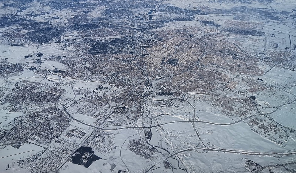
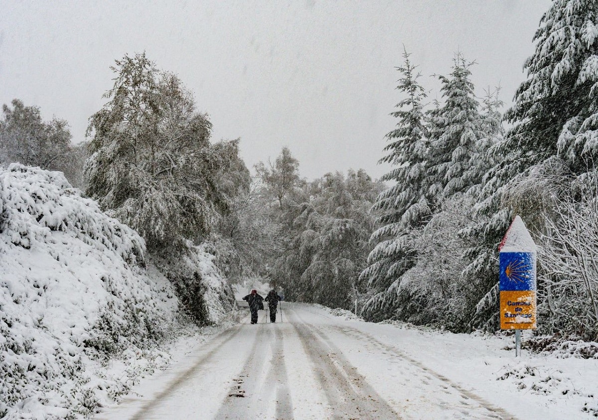
It's an intrusion of cold air from the Arctic, so it always brings the temperature down. A region of the atmosphere with a lower pressure relative to an adjacent region at the same level. It is called a trough because it is V-shaped, with a concave surface towards low pressure.
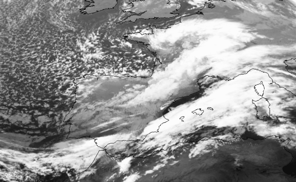
It is created when air masses move in the atmosphere. When westerly winds come from the North Pole, the latitude is low and the atmosphere is high. It usually moves from west to east and is accompanied by a lot of cloudiness at all levels. In meteorology, temperature drops are usually associated with storms or fronts.
Differences between a polar trough and a DANA
A trough is when a mass of warm, moist air rises along an elongated area of low pressure located between two regions of high pressure (anticyclones), formed by cooler, heavier air masses that wedge in and create a very vertical development of clouds and the rain that accompanies them. Thus, it refers to an elongated barometric depression located between two anticyclones, or more precisely, two anticyclonic regions with slightly different characteristics.
A DANA is a low-pressure weather phenomenon that separates and moves independently of the underlying westerly airflow. Cold water droplets can remain virtually stationary for days or sometimes move westward, in the opposite direction of the prevailing flow in the air.
winds and hurricanes
Unlike depressions or cyclones, which are more or less circular or spiral in nature, the winds that produce troughs are weaker because their energy dissipates rapidly as air masses rise within the trough itself. Nevertheless, the direction of these winds is a subject little studied and often confused, although they largely explain the mechanisms that produce the unusual and persistent rains in the trough.
This is a complex and difficult mechanism to explain in geographical terms, and its identification on meteorological maps is not always easy because, regardless of the elongated cloud front that appears in the axis of the trough, it can reach an enormous dimension (thousands of km). , the two anticyclones that bordered it were identified only by the absence of clouds and their larger size. But we must remember that the winds around the anticyclones are in the opposite direction to the cyclones, they rotate clockwise: because we have two anticyclones as centers of action, they emit wind, and the interaction between them is in the "valley", forming the channel, the wind rotates clockwise around the channel itself
Strictly speaking, atmospheric troughs are very similar to tropical cyclones, at least structurally. The most notable differences are in the shape (circular in the case of a cyclone, elongated in the case of a trough) and its size: Hurricane Sandy, the largest on record (1.800 kilometers in diameter) where they can reach lengths of 16.000 km or more.
But similarities in the atmospheric circulation can be seen in these meteorological phenomena: the rain bands in both cases show the same direction and development, turning counterclockwise in the northern hemisphere and clockwise in the southern hemisphere.
In particular, the polar trough usually moves from west to east, and is accompanied by various levels of cloudiness.
atmospheric instability
Under certain conditions, troughs are mapped as features related to the structure of non-frontal precipitation in the warmer months, formed essentially by convective foci of diurnal evolution. These hypothetical depressions drawn on a weather map are intended to support cloud fields, especially forecast or analyzed precipitation fields, which are often interpreted as lines of climate change or deterioration due to convection.
The point is that sometimes these unstable lines are underpinned by highly dynamic thermal troughs and cryogenic ridges, all of which can create a favorable environment for convection. In this sense, troughs are often drawn behind the precipitation/cloud line, which is associated with climate change related to convection and storms.
As you can see, meteorology becomes more and more complex concerts that can lead to the existence of certain meteorological phenomena. With this article we intend to dissolve all doubts about the existence of polar troughs. Therefore, I hope that with this information you can learn more about a polar trough, how it is formed and what its consequences are.