
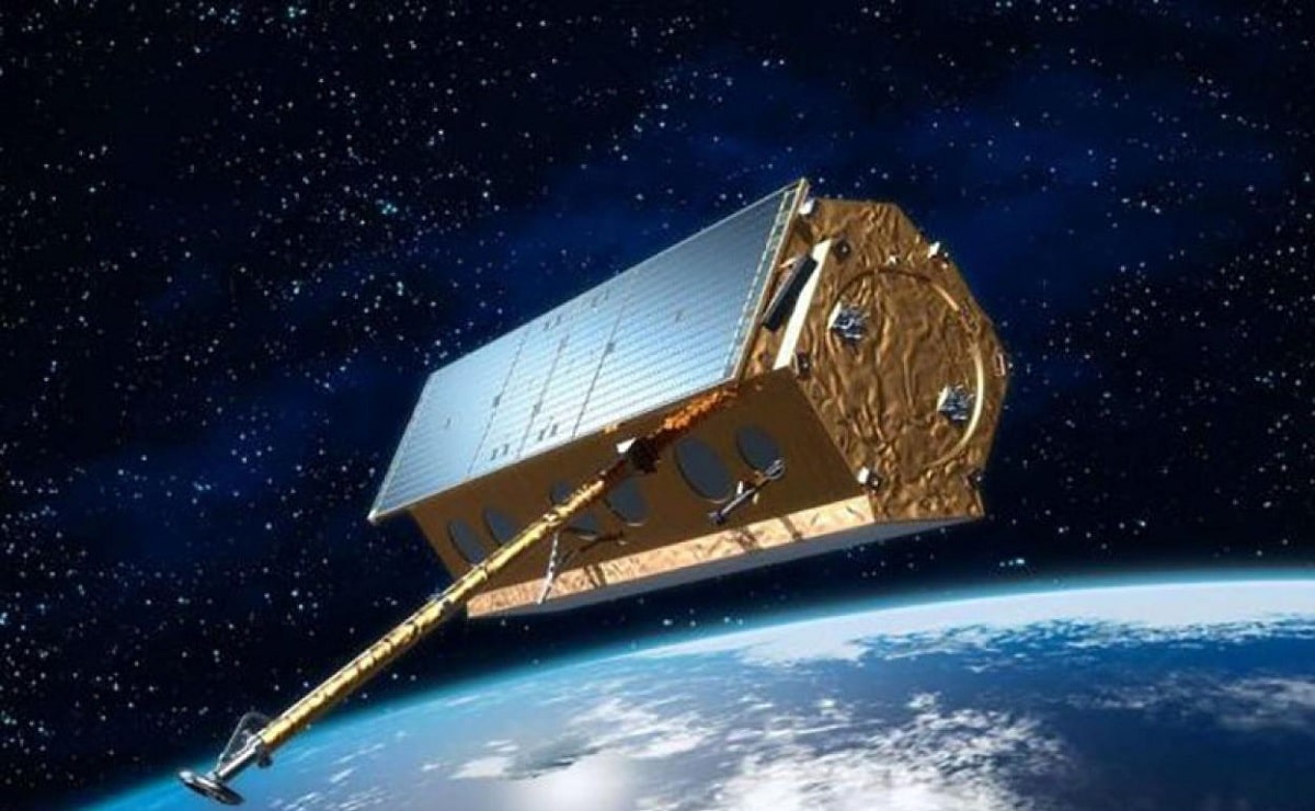
For the weather forecast it is necessary to have weather satellites in orbit over our planet. It is used for the detection and analysis of all the characteristics of the atmosphere and the different factors that influence the climate and atmospheric phenomena. It also has great importance for human activities and their development. In the past it had relevance for military operations and planning in a wide spectrum of situations.
In this article we are going to tell you about all the characteristics, and the importance of meteorological satellites.
Key features
The observation of the atmosphere and its conditions is essential to know the climate of the planet. The meteorological satellites are in charge of observing, detecting and recording all the meteorological forecasts. Probes of various types and characteristics are used for the different atmospheric studies. Some of them have some limitations such as the amount of solar radiation. For example, there are meteorological satellites that work through infrared radiation and do not need sunlight to function. However, if you need more precise data or a real time scale, you need to use a very wide instantaneous dissemination.
The use of meteorological satellites It started after the Second World War. It took 10 years to launch the first satellite since 1947, since it was in continuous study and research. The idea quickly emerged as a way of explaining weather events to aid military scenarios. Currently, different detection methods are used and the entire spectrum is used from ultraviolet to microwaves, through the spectrum visible to humans and radio waves.
Conditions for the use of meteorological satellites
To achieve the correct use of meteorological satellites, certain conditions must be met, such as the following:
- Being in a location far enough away to allow coverage of the entire area where you want to make the prediction. A field of view is needed that allows the identification of cloud masses and all the geophysical characteristics of the terrain. This serves to establish the possible consequences that meteorological phenomena can cause on the ground at ground level.
- Satellite displacement should be planned in such a way that your field of vision appears every 12 hours. It is convenient to travel twice over the same cloud system to be able to correctly identify the atmospheric disturbances that are associated with the cloud system.
- The speed of movement of the satellite must be such that it allows a precise location of all the cloud systems under study with respect to the terrestrial areas to which it influences.
- Usually almost all storms move east from west. For this reason, weather satellites must have a westward motion component. We are referring to the west with respect to the earth's surface. In this way, it is able to detect atmospheric disturbances that may appear depending on the cloud system that is being analyzed.
- The entire earth's surface must be covered at least once a day. Thanks to this, you can have a panoramic view of the entire global atmospheric scenario.
All the conditions we have set are met as long as it was set to satellites at 2.01 terrestrial radio. It must always be counted from the center of the Earth and with a rotation period of about 4 exact hours.
Usefulness of meteorological satellites
Let's see what kind of utility the data collected by the meteorological satellites can have. We know that since 1966, the surface of our planet has been continuously photographed, at least once a day. Not all photos are used only in real time, but are archived to carry out various statistics and research in the field of weather. As we know, climatology is the science that studies all meteorological and atmospheric factors at the level of geological time. In other words, it could be said that climatology is the sum of all the variables and their behavior over time.
This information obtained thanks to meteorological satellites has been very useful in many cases. Let's see some examples of it:
- On planet Earth there are different large areas in which information is obtained thanks to conventional methods such as deserts, polar zones and ocean expanses of the northern and southern hemispheres where humans cannot study in situ. Thanks to this type of technology we can obtain information about these places without having to be in them.
- Another of the cases where the information obtained with meteorological satellites has been very useful is for the location and monitoring of hurricanes, typhoons and tropical storms. It is vitally important to obtain information about the behavior of these extreme meteorological phenomena in order to be able to take extreme precautions and avoid possible disasters.
The data provided by meteorological satellites can be used to obtain charts of sea surface temperatures. The temperature on the sea surface is an important variable since it is the determining factor for the movement of marine currents. This information is not only useful for the weather, but also for navigation and fishing.
Methods for obtaining information
The only system that is capable of obtaining a total coverage of the temperature of the atmosphere and of different heights are the meteorological satellites. Launching a meteorological satellite requires a shuttle. The advantage that shutle space vehicles it is to be able to be used as a method of obtaining information in laboratories for periods of time greater than those of suborbital flights. Thanks to this type of vehicle you can have information on the following aspects:
- Temperature control in all parts of the atmosphere and the earth's surface.
- External and internal communications.
- Atmospheric data processing.
- Control of the stability and maneuvers of both commercial and military aircraft.
- Influence of cosmic rays on our planet.
- Astronomy.
- Plasma physics
- Environmental observations
I hope that with this information you can learn more about meteorological satellites and how they work.