
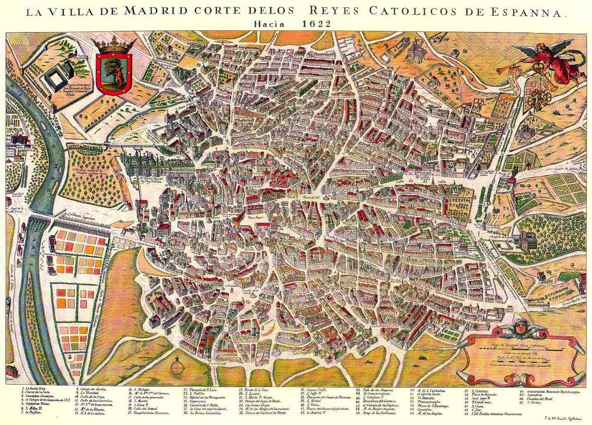
When we are talking about various historical sources and events that have taken place, we sometimes forget the importance of maps. The historical cartography is responsible for study the importance of the development of maps throughout history. Maps were used as a complement to analysis and knowledge of historical processes. Hence nothing of the importance of historical cartography to study and investigate history.
In this article we are going to show you what are the characteristics of historical cartography and its importance.
Manifestations of historical cartography
There are numerous interpretations of the geographic reality of the known world throughout history. Of the agent of antiquity and medieval there are numerous maps that constitute a universal model of expression and conception of the world through a map. There is a triple reality that is expressed on a map: ideology, graphic and geographic. In this case, the geographic has both a physical and a human aspect. This means that almost all societies have used maps as suitable instruments to represent the known world and also the imagined world. In this way it is possible to create an institutionalized orderly vision of the human environment.
Throughout history, maps have been seen that some had their own characteristics, others had real characteristics and others were sometimes alien and simple assumptions of what they imagined. From the most remote antiquity man has felt the need to work out sketches and maps to have a valid medium that serves to reflect or transmit information about the physical reality of the world. The places that have developed the most in a cartographic way were 3: Mesopotamia, Greece and Rome.
More or less in the year 3000 BC some superior features of civilization began to appear in the areas of the fertile crescent and this is where they occurred. the first astronomical studies and with cartographic manifestations. They are the oldest cartographic manifestations that we know of. It was Sumerians and Akkadians who made a local sketch. They also designed some older maps of cities, neighborhoods, canals or buildings. The oldest map that historical cartography has studied is found between the year 2700 and 2200 BC. It corresponds to the so-called Nuzzi tablet and had an administrative approach.
By then, the Mesopotamians considered that the sky and the earth formed two flat discs and supported in the water.
The sea on cartographic maps
It must be borne in mind that the historical cartography, The sea was a very important element in the development of the geography of cartography. The journeys, the vast majority of them of a commercial nature, were those that provided valuable geographical information on the coasts, existence of anchorages, direction of the winds and mouths of the rivers, among others.
This is where a great deal of information was acquired for to be able to carry out commercial transport between cities. The first human group that was conscious to be able to carry out their economic activities in a certain environment were the Greeks of the archaic stage. The delegations and they reached a high activity since numerous colonies were founded on the northern coasts of the Aegean Sea, the western and southern coasts of the Black Sea, the south of the Italian peninsula and Sicily.
Although there was some geographical knowledge, the approaches that those Greeks made of cartography were very poor. Historical cartography has focused on studying how the first maps were made. For them, the land was shaped like a flat disk and was surrounded by the rapid currents of the Ocean River. The limits of the world at that time known were the eastern coast of the Mediterranean.
Years later, the Hellenistic epoch was characterized as there was a remarkable progress in the exact sciences. In this development of science it had great application of the geographical field. Geographic foci existed in Alexandria, Asia Minor, and Greece. During the XNUMXrd and XNUMXnd centuries there was a greater boost in geographical activity, especially in Alexandria. It is here that the brightest students of the exact sciences and intellectual pursuits began to use the astronomical method for the determination of latitudes. This provided an indispensable basis for measuring the land and the development of historical cartography in the late third century.
Importance of historical cartography
Eratosthenes of Cyrene was the one who calculated the measure of the Earth's meridian. It is here and how it was possible to achieve a precision that gave a remarkable boost to geography. Thanks to this calculation, a mathematical and gastronomic study could be started, collecting all the works of the predecessors. Here it was emphasized that the earth was a globe with two poles and an equator. The design of the land and its configuration were designed on the lines of latitude and longitude, separating them into five zones: two cold zones, two other temperate zones and a warm zone.
I combine this design with a base meridian based on an experimental model since both lines crossed at Rhodes. Rhodes was the island that would be the cartographic center and the reference point for the entire inhabited world. Today the zero meridian passes through London. Eratosthenes was able to complete the map by drawing several parallels that crossed the localities of his guide meridian. It also took into account the meridians that corresponded to together or notorious cities. He wanted to be able to change the one-dimensional vision of the journeys with another more modern two-dimensional configuration.
The historical cartography reflected Eratosthenes as the defender of the habitability of the entire temperate zone and it was deduced that it was possible to sail from Hispania to India bordering Africa. This is one of the most interesting feats by which historical cartography began to influence. Later in the Middle Ages, with the birth of religion and Christianity, the belief that the earth was flat changed all cartography.
Today, today, thanks to satellites we have a complete view of our planet, so we have the most accurate cartography that can exist.
I hope that with this information you can learn more about historical cartography and its importance.
Germán seems important to me as you have approached the concept of historical cartography where you mention that «it is in charge of studying all the importance that the development of maps had throughout history, – as well as – the complement of the analysis and knowledge of the historical processes (which start) from the importance of the subject to be able to study and investigate history from its origin. But I would like to know more about the social constructions that are carried out to partially build an investigation based on these references in which we can see dates, locations and a good reference for the field in which the document is immersed. I also cite your text but I would like to cite it better by year, from some note and I would like to obtain the year in which you refer to your document