
You've probably heard about space observation satellites on television. They are devices with a very high technological development and that are capable of giving us great information about what is in the universe and what is happening on our planet. In this case, we are talking about the satellite GOES. This satellite helps us in predicting the weather enormously. And it is that predicting the weather is something very complex. It is not at all something that can be intuited or that with some algorithms it works. For this reason, it is known that many times "the weatherman fails."
In this article, we are going to show you why GOES is the best meteorological satellite that has been put into orbit of all time.
Need to forecast the weather
Forecasting the weather is something we need to carry out our activities or schedule some events. Depending on the state of the weather, some events are made or not. Therefore, knowing the weather forecast is vital. However, It is not a simple task. It is very complex since atmospheric variables can constantly change in a matter of hours. Although today there are many rain apps and we can know if tomorrow it will rain in our locality, these data can often fail.
And it is that although the weather forecast sometimes fails, it is completely normal. Time is known to be affected by multiple variables and weather elements. In order to monitor what is happening in our atmosphere, we have another flora of meteorological observation satellites. These satellites take care of power know the atmospheric systems that exist at all times and be able to predict their evolution.
The GOES satellite was launched to be able to predict the weather in a more precise and exact way. Not only does it offer that, it offers so much more.
What is the GOES?
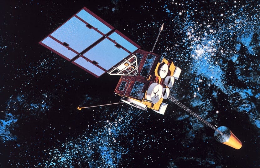
GOES are the acronym for Geostationary Operational Environmental Satellite. This satellite has supposed a revolution among all satellites of this type. There are polar orbit satellites and other geostationary orbit satellites. The latter are those whose orbit coincides with the speed at which we have the orbit of the Earth. This means that it always offers us the same image of the globe. It is able to keep flying over certain specific points on our planet. This is done because its main objective is to give meteorological variation to be able to predict the changes that are going to be made.
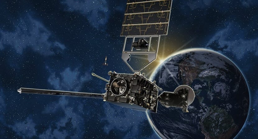
The GOES-R model in question is the most revolutionary since updates instruments and data processing capacity. It is capable of processing information in greater quantity and speed, so it offers us a service with more quality and precision. This is absolutely necessary if we want to obtain precision when preparing reports on weather forecasting without having the slightest margin of error.
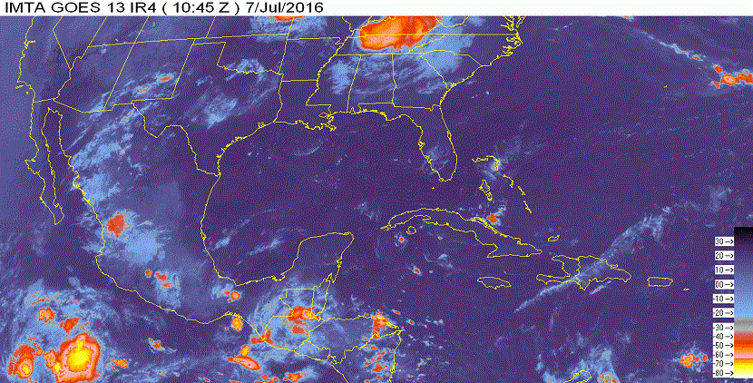
In addition, has a spatial resolution 4 times greater than normal and a coverage five times faster. The real-time mapping of the lightning bolts is impressive. This helps to have an increase in the forecast of storms and improves the times in which you can warn of the formation of a tornado. This is perfect for those who study tornadoes or those who are "hunting tornadoes." On the other hand, it also helps in improving hurricane forecasting and its possible intensity, better control of X-ray fluxes from the sun, etc.
Better quality and fewer prediction errors
What is achieved with the GOES satellite is to have a better quality when obtaining meteorological data and with a lower margin of error. The question that many people asked themselves when putting it into orbit is if we had forecasts that fail less than the previous ones. It really bothers to know that it is going to rain on such a day, cancel plans because of it, and finally that it is a sunny day better than ever. Or quite the opposite, that we go out for a drink and suddenly fall showers powerful.
Weather forecasts are obtained from models that make simulations of what is going to happen. To carry out these simulations it is necessary to know the values of the meteorological variables at that moment and the tendency they have to modify these values. In other words, if the values of temperature, atmospheric pressure and wind continue to change as they are doing now, we can predict the formation of rains. However, it is possible that these values change their trend for some other variable. This is what makes the error always present.
For these models to flow better and provide more accurate data, we need even more data to input into the variables. The more accurate this data, the better predictions the GOES satellite can make. With its instruments, the satellite can see in real time, without failures and continuously, the earth's surface in 16 spectral bands. Further, It includes the visible channels, 4 near infrared channels and a further 10 infrared channels. All of this capability gives you less room for error.
Spatial observation
The advantage of this revolutionary satellite is that it is not only attentive to the Earth and the meteorological observation. It also has liaison missions with foreign communications. It is responsible, for example, for knowing spatial patterns such as the solar wind. It also analyzes some concentrations of radiation that can harm astronauts that we have off the planet.
In addition to assessing possible risks to astronauts, this information can be used to warn of potentially dangerous events that may occur. Thus, some damage to telecommunications can be avoided. It has a magnetometer that is responsible for measuring the magnetic field and the dynamics carried by the particles that are charged outside.
I hope that with this information you can learn more about the GOES satellite, the best there is to date