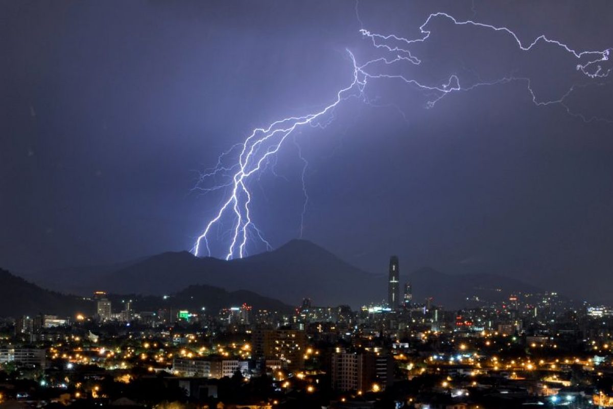
Have you ever heard the concept of dry storm. It happens when a thunderstorm occurs that produces little or no rain. It might seem like a contradiction in terms of having a thunderstorm without precipitation, although it happens quite frequently. In parts of the western United States, it usually happens with great frequency, especially during the spring and early summer months.
In this article we are going to tell you everything you need to know about the dry storm, its characteristics and danger.
What is a dry storm

When we speak of a dry storm, we refer to a type of electrical storm that has little or no precipitation. It is usually seen from the sky with frequent lightning and thunder but that does not produce rain. In the western United States it tends to happen frequently during the spring and early summer months. It is in these areas where the heat index can be very high and low humidity. It is known as a dry storm because it occurs when temperature and heat meet below the cloud cover. This part of the clouds is known as the aerial canopy.
It must be taken into account that it really does rain but given the temperatures, the precipitations, whether rain or other, cannot reach the ground since they evaporate as they fall near the earth. We have already seen in other articles that this type of rain is known by the name of Virga. Therefore, it does really rain but it is not appreciated since it evaporates before falling to the surface.
Main causes

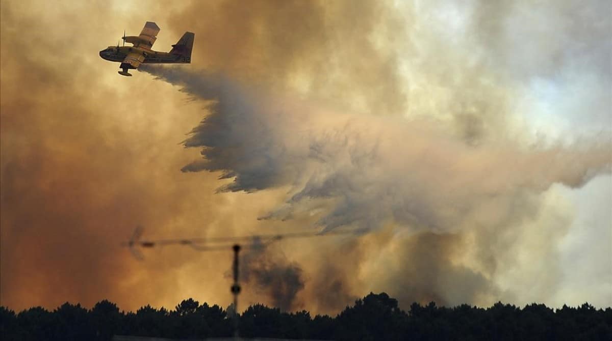
Let's see what are the main causes for the dry storm. The number one cause of origin of these types of storms is due to forest fires. Massive forest fires generate an increase in temperature and a decrease in the humidity of the environment. When lightning strikes a dry fuel source on the ground, a fire occurs. These rays tend to affect especially the summer months. Although it doesn't rain at least at ground level, storms do have a lot of lightning. Lightning strikes that occur in arid conditions are known as dry lightning. It is because of these dry rays that it can strike a fuel source and easily ignite a fire.
Vegetation and flora are often dry at this time of year and easily flammable. Even when the rains can reach land, the humidity is too low to have any effect on fires. Additionally, these storms can produce strong winds. called Microbursts that can affect fires making them more difficult to put out.
Dry storm potential
Let's see now what is the potential of the dry storm. The Microbursts mentioned above are a meteorological phenomenon that is associated with these types of storms. When precipitation evaporates as the water droplets get closer to ground level, the ground cools slightly. Sometimes the soil becomes radically cold in a short time. We know that cold air is heavier and tends to plummet quickly to the ground. This displacement of air towards ground level can create strong winds. With little or no rain that generates the dry storm and the low humidity makes the conditions for Microbursts if they have ideal.
The winds that are generated by these environmental conditions can lift a large amount of dust and other debris, especially in the most arid regions. All of this results in a major dust storm that can cause quite a few problems. These storms are known as haboobs and occur frequently in western states. Against these dust storms there are numerous protection protocols. It should be borne in mind that it is these dust storms you encounter, you can die from suffocation.
Danger

The most normal thing is that these types of storms can be predicted well in advance. And it is that the training conditions are quite evident. There are much more vulnerable areas and residents can be warned of the onset of a dry storm. Incident meteorologists are called IMETs and they are trained to search for the fuels that help spread wildfires. These meteorologists are trained in small-scale weather forecasting. In this way, they know the behavior of fire operations according to the present environmental conditions.
They also act as stewards who can help coordinate all monitoring efforts for weather prediction. Decisions made by these meteorologists are taken into account to improve control and containment of wildfires based on the predictions they can make about wind speed and direction.
The most common is that normal storms are accompanied by showers. However, it is not uncommon to find this type of dry storm in our country. It is usually formed when the water content of the cloud is not too great to produce showers for the temperature is very high and the environment is dry. This is how the water droplets evaporate before reaching the earth's surface. They are usually very dangerous, since the lightning that falls from dry storms can cause forest fires when they reach a forest mass or dry scrub. As it does not rain or rains very little, the chances of the fire spreading are high.
As you can see, these types of storms need a more or less exact prediction to be able to avoid most of the forest fires that take place in areas where these conditions occur frequently.
I hope that with this information you can learn more about what a dry storm is and its characteristics.