
The weather is influenced by a lot of meteorological variables. The values of these variables are those that cause atmospheric instability, stability, gusts of wind, rainfall, etc. You have surely heard the weatherman speak numerous times saying that a cold front. What is this cold front?
In this article we are going to explain what a cold front is, how it is formed and what consequences it has for the weather.
What is a cold front
When we speak of a front, we are referring to a connecting line between two air masses that have different characteristics. The air masses circulate and have different characteristics depending on the meteorological variables that we have mentioned above. One of the factors that is most taken into account in the atmospheric values to know the characteristics of the front is the temperature.
Through this variable, mainly, we can know the type of front that is coming to an area. If it is a cold front, hot front, etc. Another of the atmospheric variables on which fronts depend are lhumidity, wind speed and direction and atmospheric pressure.
The cold front is the one that indicates the border between a moving cold air mass, versus a hot air mass. Normally, in this type of fronts it is the cold mass that is displacing the hot air mass. It is important to know that the air masses do not mix on one front. Otherwise, no such front would be formed. We must take into account the difference in densities when talking about air masses.
Recall that the hot air is less dense than cold air, so it will always tend to rise. When a cold air mass and a hot air mass meet, it is the cold air mass that moves rapidly along the surface because it is denser. This causes the hot air to move in height because it is less dense. If we have a cold front, generally, temperatures will drop since the coldest air is on the surface.
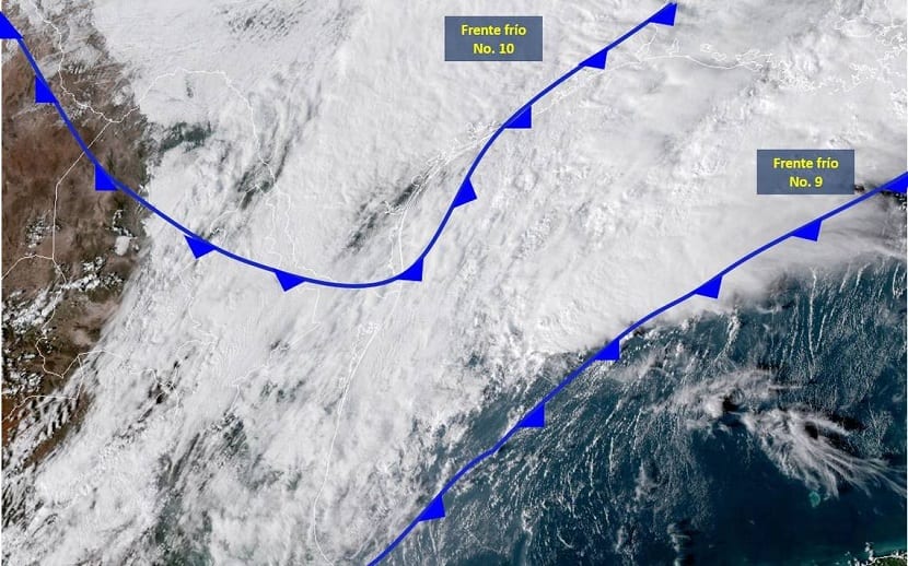
How it is formed

Image - Wikimedia / HERMENEGILDO SANTISTEBAN
We are going to analyze step by step how this type of front is formed. When we have an air that is humid and unstable, when it tends to rise due to a lower density, it will run into a drop in temperatures typical of the troposphere. As we increase the altitude, the temperature decreases in a thermal gradient. This will cause the hot air to condense into clouds.
Depending on the environmental conditions and the amount of hot air mass that is condensing, different types of clouds. If cold air displaces a large mass of warm air at a higher rate of ascent, tWe will end up with more of this air that will be condensing at altitude. This will cause the vertical development of cumulonimbus-type clouds.
This type of cloud causes great atmospheric turbulence that triggers heavy and intense rains. Among the phenomena that we can have we also have hail, electric storms, very strong winds, snowstorms, bad revolt, gusting winds and even tornadoes if they can form.
It must also be said that not all cold fronts are so violent. The degree of violence or dangerousness of a river front depends on the humidity of the hot air mass, in addition to the amount of hot air that is condensed. It is possible that the rise of the warm air is not so vertical as to form vertically developing clouds, but some nimbostratus will form with more moderate precipitation. One of the most determining values is the wind speed. Depending on this value, the cold air mass will move at a higher speed which will, in turn, move more of the warm air in height. If the air is humid and the movement is totally vertical, we will have a disastrous weather.
Key features

Cold fronts tend to move quickly, with speeds between 40 and 60 km / h. This makes the time they last between 3 and 7 days. The geographical length of the entire surface that is usually affected is usually between 500 and 5.000 km. As for the width, it can be between 5 km and 50 km.
When a cold front is said to be approaching, in the hot air the atmospheric pressure is stable. It may also be that it goes in a slight descent that is what causes the air to tend to move to the area that has less atmospheric pressure. The first thing we usually observe to identify a cold front is the formation of very high white clouds. These clouds are of the cirrostratus type. Later, se they form medium clouds such as Altocumulus or Altostratus. At this time, the winds are light but it does not have a fixed direction.
As the cold front gets closer and closer, the clouds thicken more and more and the rain intensifies. Above all, what is most indicative of the proximity of the cold front is the increase in the size of the water droplets. The wind begins to be gusts and still does not have a stable direction.
When we have already come into contact with the cold front, we will notice a drop in temperatures, strong showers which are usually accompanied by a storm, wind with strong gusts, poor visibility and rough seas.
Once past the front
When the cold front has passed, we will be able to see large clearings to the northwest and it will improve visibility much more. The temperature will drop somewhat and there will be less humidity. Atmospheric pressure increases rapidly, because the air above us is colder and therefore heavier.
As for the clouds, some isolated cumulus clouds may appear but without more rain. In the northern hemisphere, the role of the wind will go to the right and in the southern hemisphere to the left due to the coriolis effect.
I hope that with this information you can learn more about the cold front and everything related to it.
Thank you very much for the information. I have a question. I live in Tegucigalpa, Honduras, but here when it is said that there is a cold front, the clouds are reddish in color and it does not rain at all.
Very good explanation