
La cloudiness it is one of the atmospheric variables most studied daily. It is of vital importance to know the weather forecast. Clouds not only indicate rains and storms, but also give a great deal of information about the meteorology of a region. Today it is known in numerous methods to be able to predict the weather that is going to be and cloudiness plays an important role.
Therefore, we are going to dedicate this article to tell you all the characteristics, types and importance of cloudiness.
Key features
Clouds are accumulations of water vapor that are formed by air cooling. The beginning of cloud formation begins with the action of the sun and the incidence of rays in our atmosphere. When the sun's rays heat the earth's surface, so does the air around it. When the air begins to increase its temperature becomes less dense, so it tends to rise and replace cooler air at altitude. On the contrary, on the earth's surface, cold air is responsible for replacing the warmer air that has risen. As the altitude to which the air rises increases, it encounters colder layers that cause it to begin to reduce its temperature.
Therefore, when it reaches a colder layer of air, its temperature decreases and it ends up condensing into water vapor. Water vapor is invisible to the naked eye and permanently permanently in the atmosphere. However, as they are made up of very light water and ice droplets, they are able to stay in the air by light vertical currents. A slight vertical air current that is enough to keep the drops of water and ice in the air.
The difference that exists between the formations of the different types of cloud is mainly due to the temperature at which the air that has risen from the earth's surface condenses. There are clouds that form at lower temperatures and others at higher ones. The lower the formation temperature, the thicker the cloud becomes. Depending on the type of cloud and the atmospheric conditions, one type or another of precipitations is formed.
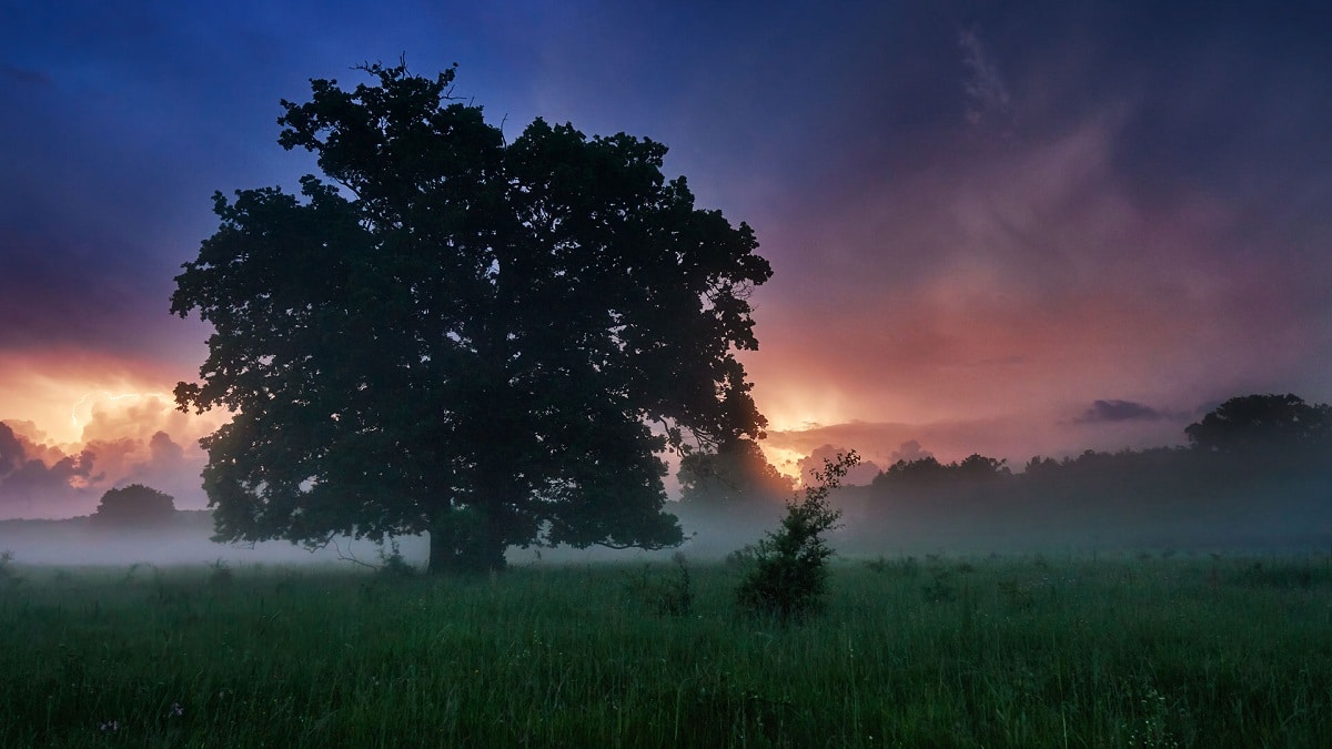
Cloudiness in the atmosphere

If the temperatures at which the air condenses is too low, the cloud that forms is made up of ice crystals. Another factor that influences cloud formation is air movement. The clouds that are created when air is at rest tend to appear in layers or strata. On the other hand, those that are formed between winds or air with strong vertical currents present a great vertical development. Usually the latter are the cause of rains and storms.
Let's see what are the different types of clouds according to the formation they have:
High clouds
They are those clouds that form at high altitude and all of them predict something in meteorology. Let's see what are the characteristics of high clouds:
- Cirrus: They are white clouds, transparent and without internal shadows. They appear as the well-known "horse tails." They are nothing more than clouds formed by ice crystals due to the altitude at which they are found. They are like long, thin filaments that have a more or less regular distribution in the form of parallel lines. It can be seen with the naked eye looking at the sky and seeing how it seems that the sky had been painted with brush strokes. If the entire sky is covered with cirrus clouds, it is very likely that in the next 24 hours a sharp change in weather will be experienced. In general, they are usually changes of decreases in temperatures.
- Cirrocumulus: These clouds form an almost continuous cabal that appears as a wrinkled surface. In addition, it has rounded shapes as if they were small cotton flakes. The clouds are totally white without presenting any shadow. When the sky appears covered with this type of clouds, it is said to be bored. It is similar to the weaving of sheep. These types of clouds indicate that the weather will change in approximately 12 hours if they appear next to the cirrus clouds. They do not always indicate this time change.
- Cirrostratus: They seem at first glance like a veil from which it is difficult to distinguish the details. Sometimes the edges can be noticed as they are long and wide striated. They are easily identified because they form a halo in the sky around both the sun and the moon. They tend to happen to cirrus clouds and indicate that bad weather or a warm front is coming.
Medium clouds
Let's see what are the different types of clouds that are generated at an average height:
- Altocumulus: They are medium-sized flake-shaped clouds with an irregular structure. These clouds do have flakes and ripples in their lower part. Altocumulus indicates that bad weather begins either due to rains or storms.
- Altostratus: They are clouds whose shape is of a thin layer and other more dense layers. The sun is usually seen through this layer of clouds and its appearance is similar to that of some irregular patches. They portend a not very intense rain that is caused by a drop in temperatures.
Low clouds
Low clouds are the closest to the Earth's surface and are only generated when precipitation is created. The most normal thing is that when there is good weather there are no low clouds. Let's see what they are:
- Nimbostratus: They appear as a regular dark gray layer with varying degrees of opacity. It is because the density varies throughout the cloud. They are typical of the spring and summer rains. They can also be found in precipitation in the form of snow.
- Stratocumulus: They are those that have undulations similar to elongated cylinders. They also have some ripples in different shades of gray. It is rare that they bring rain.
- Strata: They are clouds that have the shape of a grayish haze and do not have a defined structure. Depending on the density of each area of the cloud, some structures with a greater or lesser degree of opacity can be distinguished. When temperatures are lower in the coldest months of the year, they are clouds that can remain almost all day and gives a more gloomy appearance to the landscape. They are the protagonists of the much loved cloudy days.
Importance of cloudiness

The cloudiness is an atmospheric variable studied in depth to know the meteorology of the moment. Also, it is vitally important for satellite photography. And it is that satellites that do not work with infrared radiation are disabled when the cloudiness of a region is high.
I hope that with this information you can learn more about cloudiness and its characteristics.